Quick Facts
Country: France
Distance: 19km
Passes: Col Du Bonhomme 2483m
Altitude gain: 1316m
Altitude loss: 929m
Accommodation options: Nant Borrant (Chalet) , La Balme (Chalet),Col De La Croix (Refuge),Les Chapieux (Refuge),Les Mottets (Refuge)
Alternate route: Col de la Croix du Bonhomme – Col des Fours – Ref. des Mottets
Stage Description
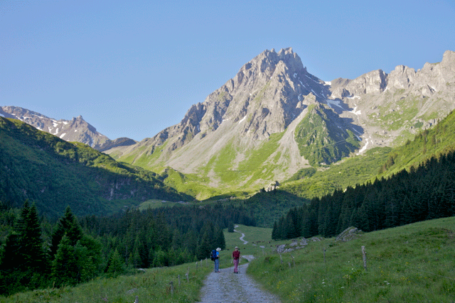
The path at this stage leads gently up the valley and up the Val Montjoie to the beautiful church of Notre Dame de la Gorge, which will be a picturesque rest stop. The track that was originally constructed by the Romans is roughly paved with large slabs and flagstones. Once pass the Church the path winds steeply through pines beside a narrow gorge, where the blue-tinged waters of the Torrent de Tré la Tête boil and thunder between smooth rock walls.
Highlights – click to see in Image Gallery
Roman road and Bridge
Refuge De la Croix Du Bonhomme


